Individual
$245$169per seatperpetual license
- One to four seats.
- Node-locked, one key per seat · 1 year of updates · renew $75/yr per seat
Secure checkout by Paddle. Taxes calculated at checkout.
For Autodesk 3ds Max 2024–2027 · Perpetual license · Any renderer
ValTerra for Autodesk 3ds Max puts a cinematic sun-and-atmosphere scout on a global 3D globe — and matches your render camera to a real drone photo at 0.56 px RMS. Plan golden hour before anyone flies. Lock the shot the moment it lands. All without leaving 3ds Max.
30 days, every feature. No card. No watermark.
Six steps, in the order you actually do them.
Type a coordinate, an address, or spin the globe and drop a pin. The view you land on is the view you will scout — same planet, same daylight model, no separate preview mode to disagree with the result.
Photorealistic 3D Tiles stream in as you descend, so the buildings around your site are the buildings that are actually there. Nothing to model, nothing to buy per square kilometre.
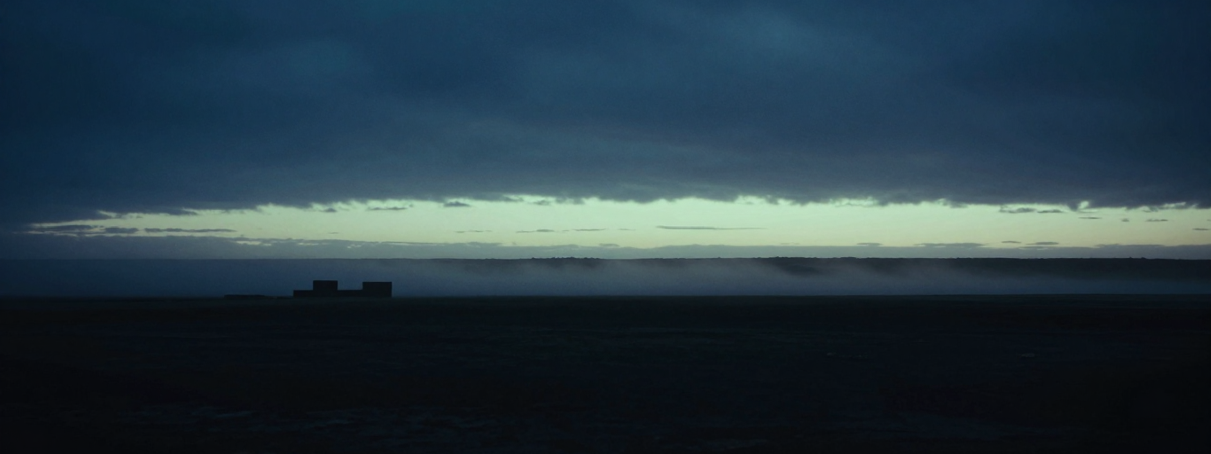
Pick a date, drag the hour, and watch the shadows commit. Haze and night lighting are there too — this is the part that replaces guessing which morning to book the drone.
Frame the view you actually want. Every candidate is saved with a thumbnail of the whole frame, so you can compare angles like a shot list before anything is exported.
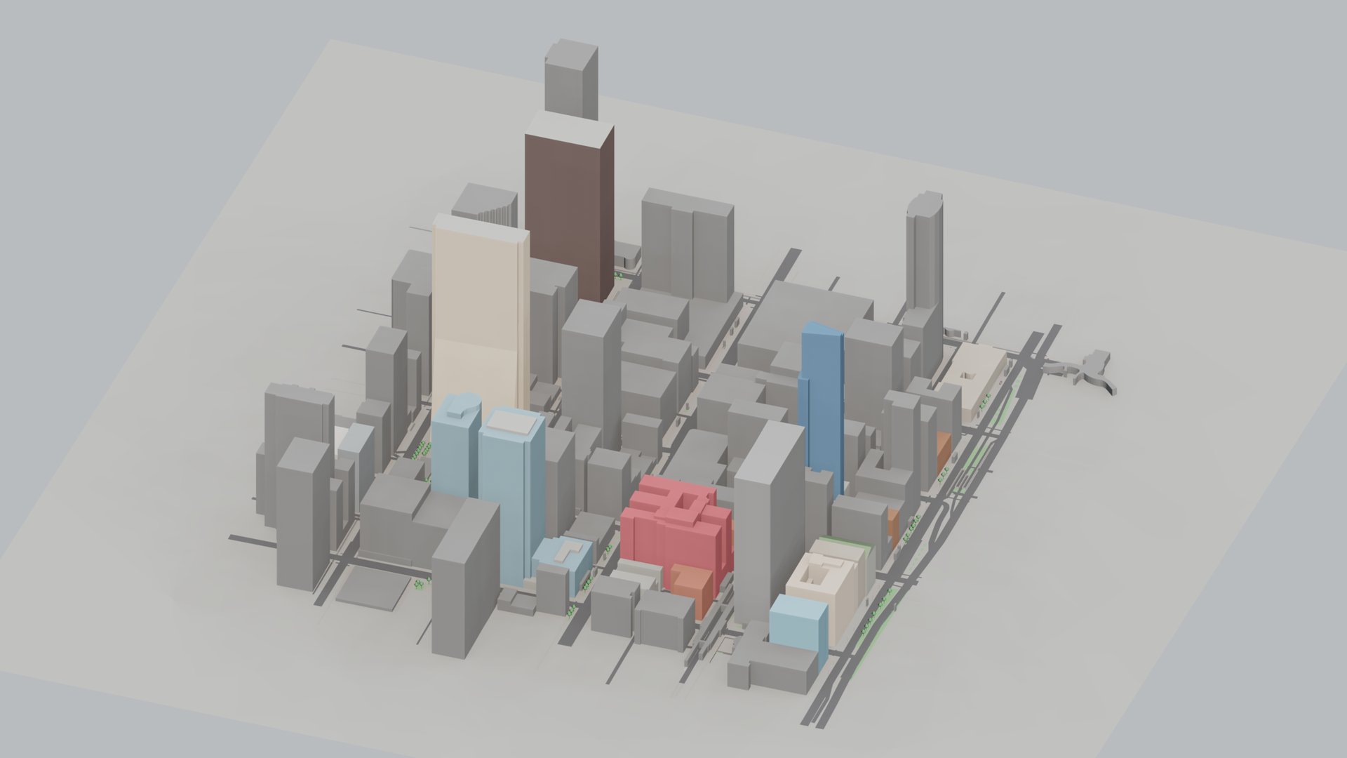
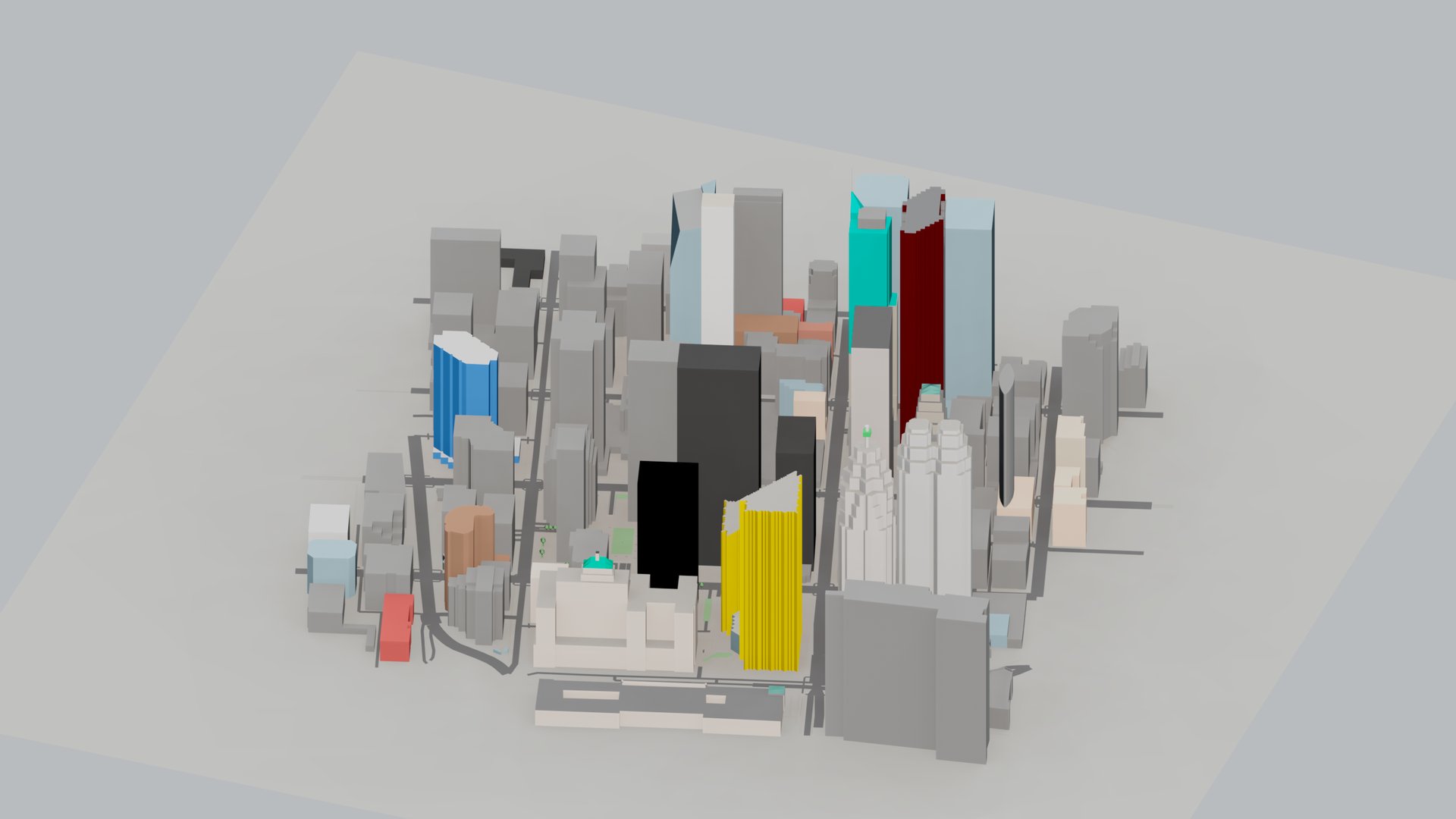
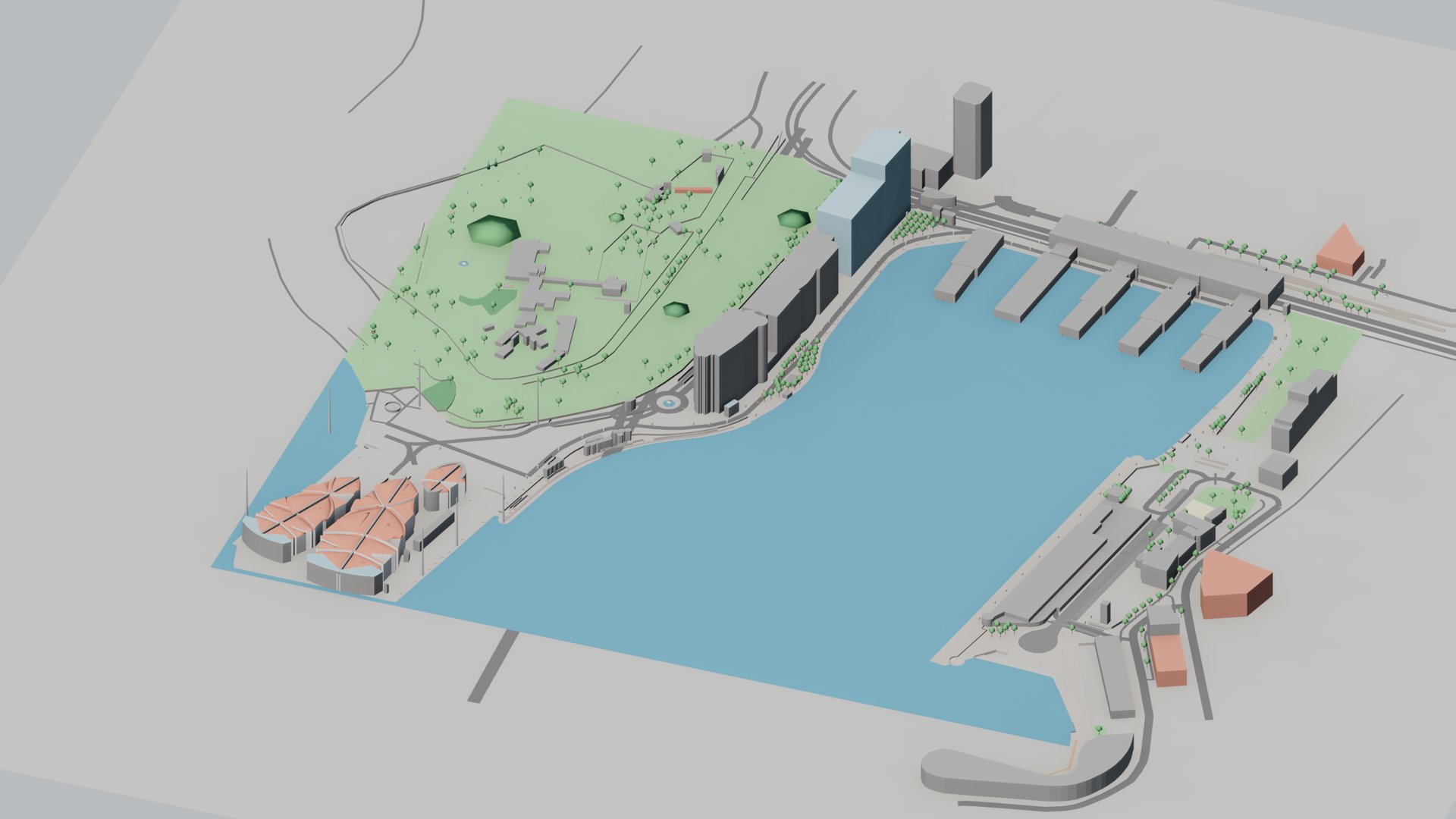
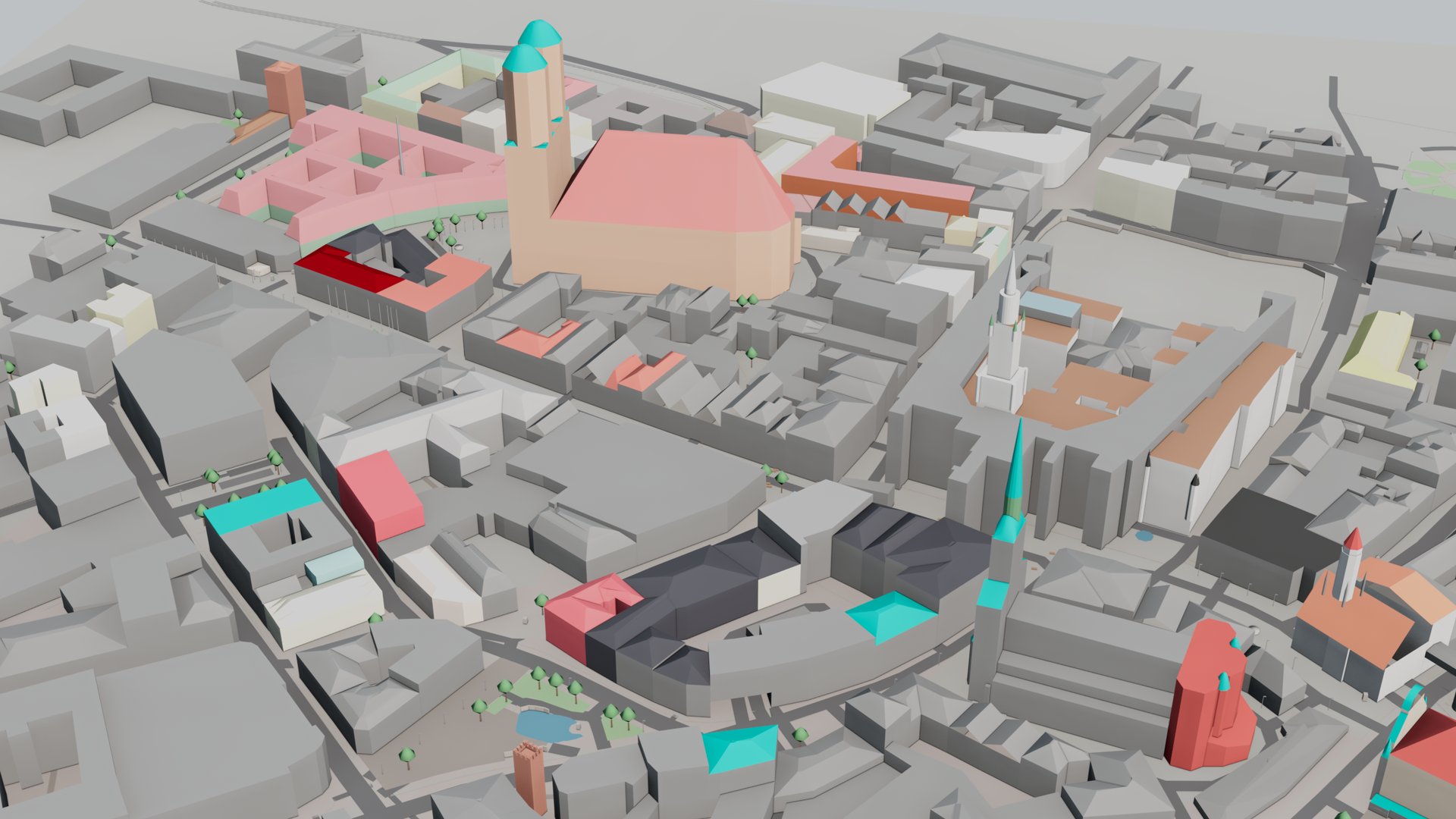
Select the import area and ValTerra brings that area into the scene as geometry, with your camera and daylight rig attached. Schematic city imports have no fixed area cap — a large area is fetched in parts and joined, subject to the fair-use policy of the OpenStreetMap server — and the free Lite tier covers 4 km² per request; terrain relief comes in without a size limit; a photorealistic import covers the area you select at the detail level you choose, and the free Lite tier caps it at 0.25 km².
When the drone shot arrives, ValTerra reads its metadata, builds the camera, and refines the match to 0.56 px RMS. The block you exported sits in the real frame — corner to corner, not by eye.
Everything above happens in one panel — and everything you scout there comes out as files you can use: contact sheets, panoramas, alpha masks, and a camera your renderer already understands.
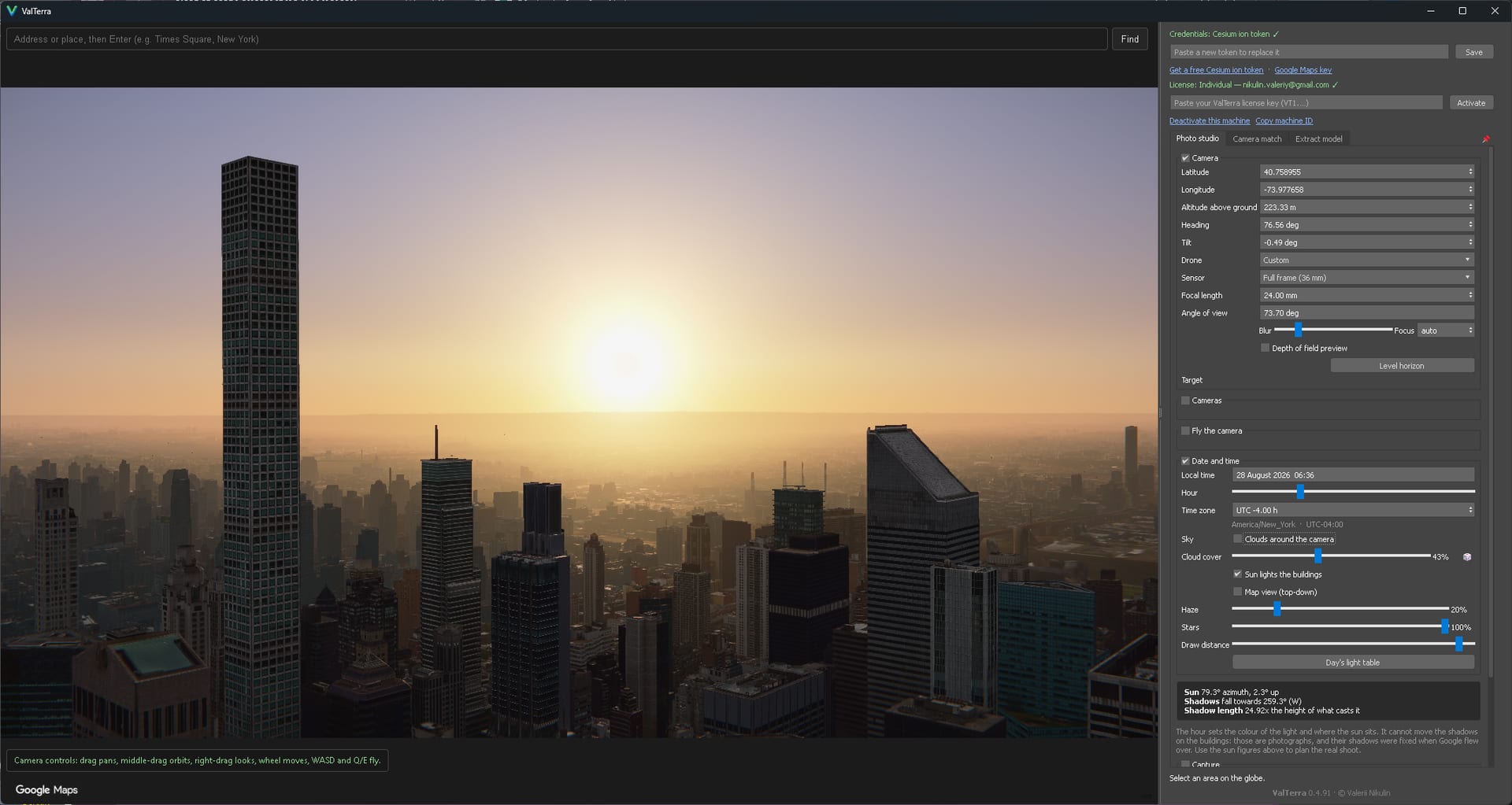
Map data: Google, Landsat / Copernicus, Data SIO, NOAA, U.S. Navy, NGA, GEBCO, IBCAO, Vexcel Imaging US, Inc.
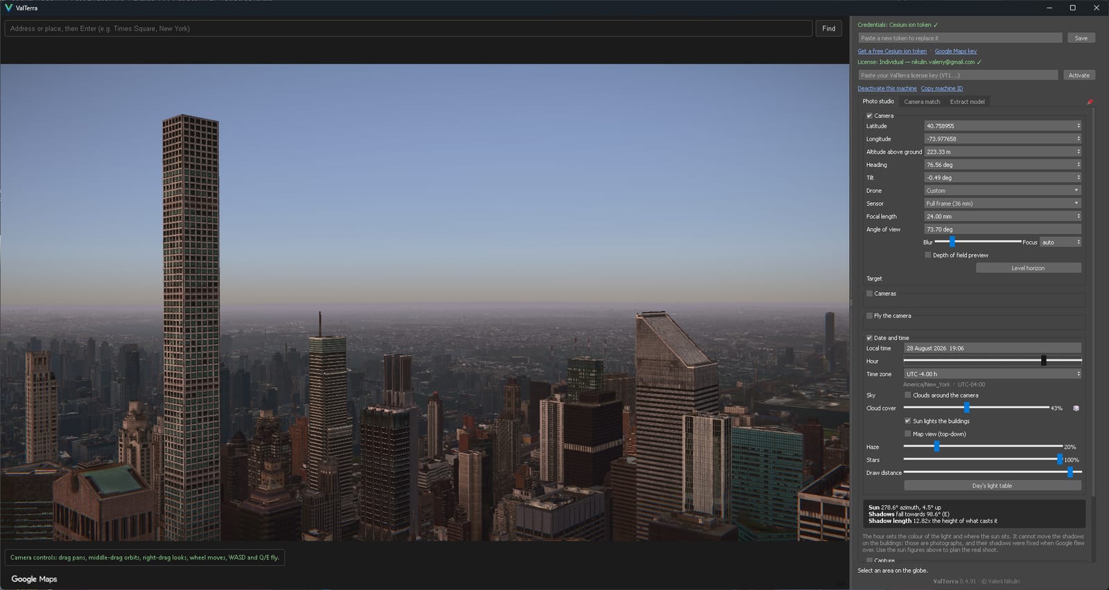
Map data: Google, Landsat / Copernicus, Data SIO, NOAA, U.S. Navy, NGA, GEBCO, IBCAO, Vexcel Imaging US, Inc.
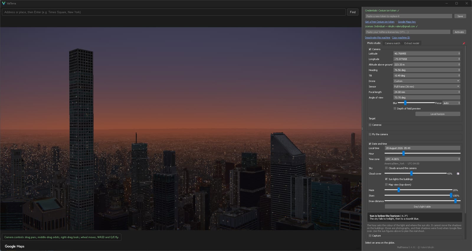
Map data: Google, Landsat / Copernicus, Data SIO, NOAA, U.S. Navy, NGA, GEBCO, IBCAO, Vexcel Imaging US, Inc.
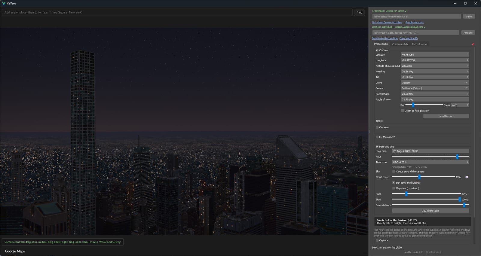
Map data: Google, Landsat / Copernicus, Data SIO, NOAA, U.S. Navy, NGA, GEBCO, IBCAO, Vexcel Imaging US, Inc.
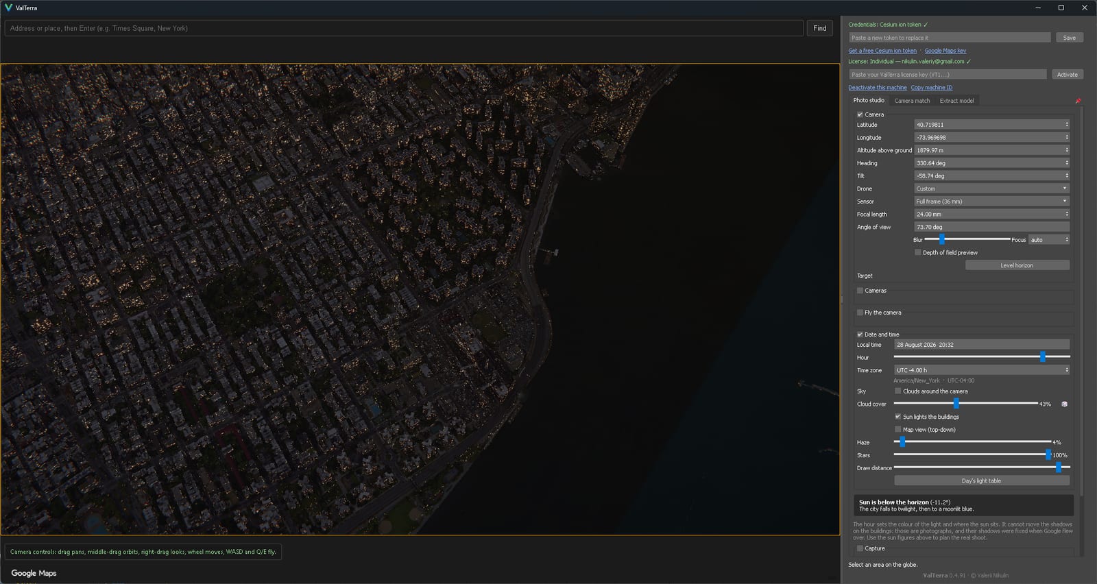
Map data: Google, Landsat / Copernicus, Data SIO, NOAA, U.S. Navy, NGA, GEBCO, IBCAO, Vexcel Imaging US, Inc.
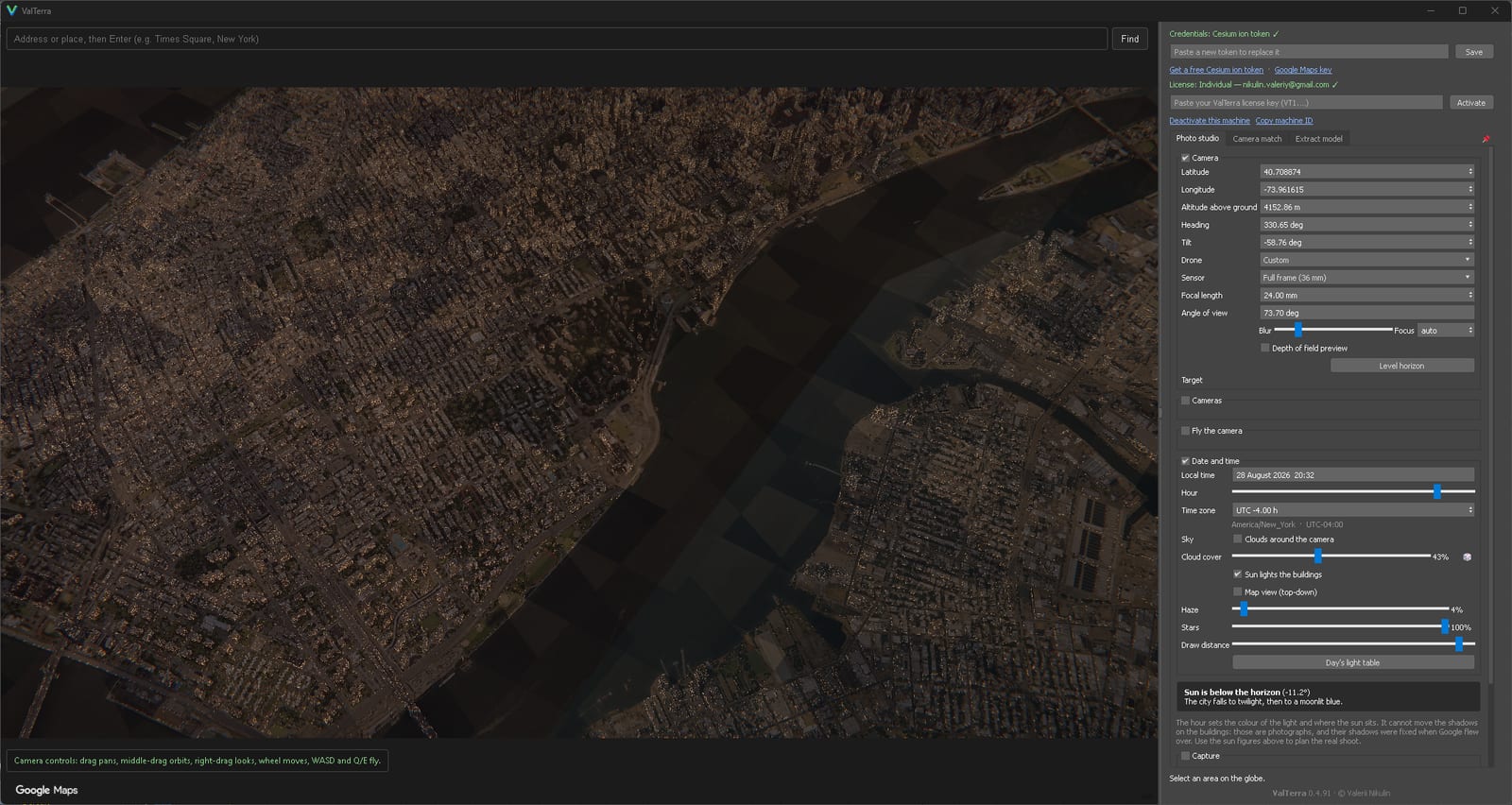
Map data: Google, Landsat / Copernicus, Data SIO, NOAA, U.S. Navy, NGA, GEBCO, IBCAO, Vexcel Imaging US, Inc.
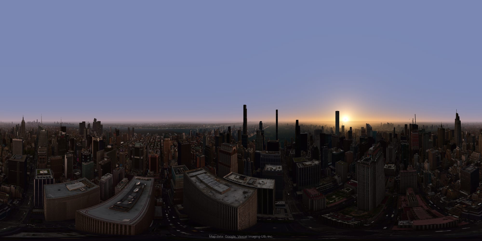
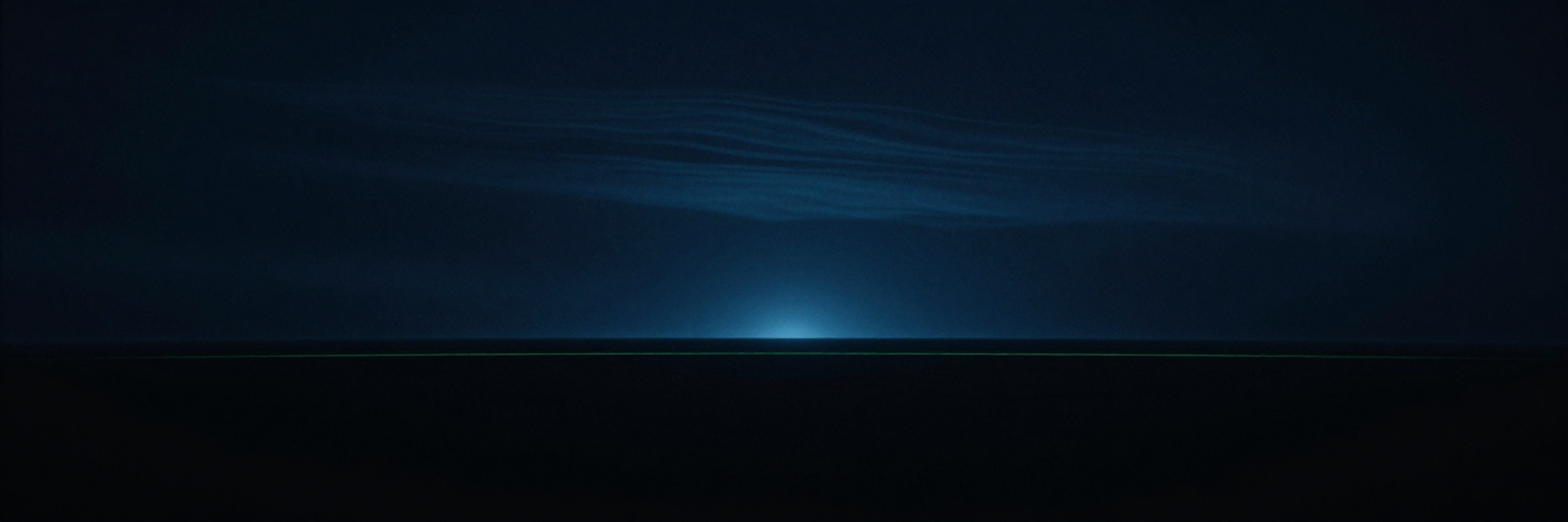
City lights come on, stars come out. Scout blue hour and full night as deliberately as noon.
Generate a light series across the day — a contact sheet of the same view at every hour. Send it to the client and let them pick the mood before you render anything.
The globe is where the work happens — you scout light on it, place cameras on it, and draw the import area on it — and it streams Photorealistic 3D Tiles, so ValTerra needs one credential of your own before any of that starts. Either kind works: a free Cesium ion token, two clicks to sign up, or your own Google Maps Platform key if you would rather be billed by Google. Both are linked from inside the plugin; you paste one into a single field and the globe comes up without restarting Max. Whichever you pick, that provider sets its own terms and bills you directly, never us.
Every Photo Studio frame carries the required map-data attribution automatically — nothing to remember, nothing to retrofit.
Export 360 panoramas and 16-bit sky alpha masks (PNG16 / TIFF16) for clean compositing downstream.
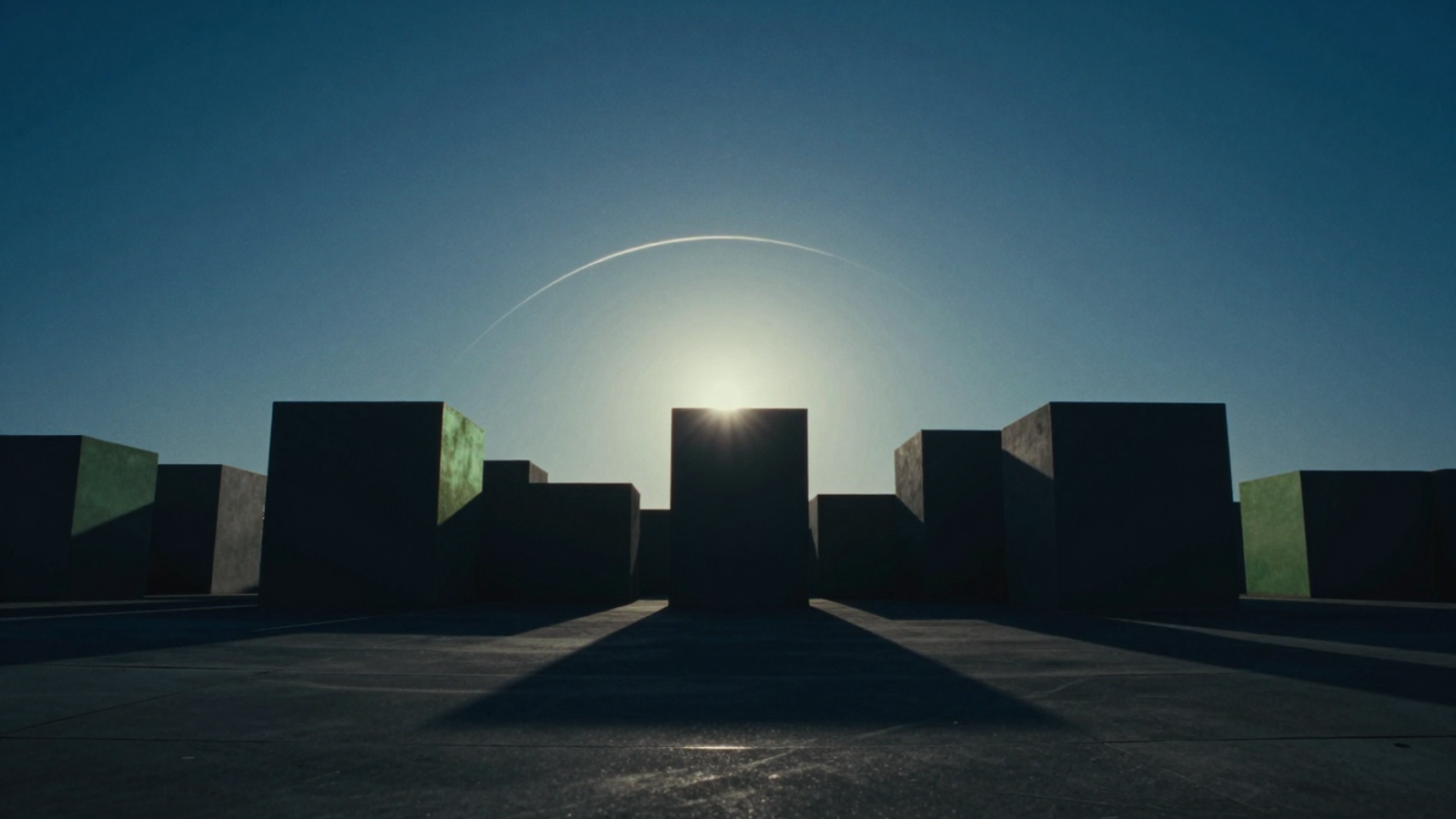
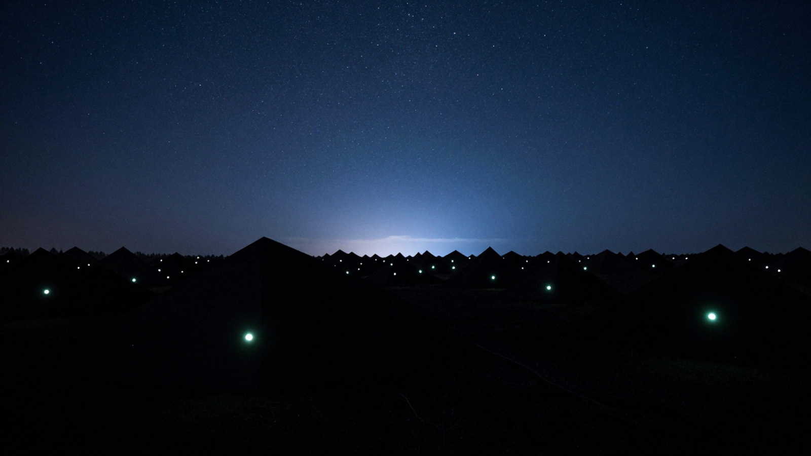
The first solve lands close, not merely nearby: two independent compass readings are cross-checked to vote out gimbal drift before anything is drawn.
Then make it exact. Click matching reference points on the photo and in the scene — a synchronized zoom-and-loupe view on both sides puts each point where it belongs. The refine solver converges to 0.56 px RMS measured error. At that tolerance, your render doesn't sit near the photo. It sits in it.
Camera appears from metadata; with the photorealistic model in the scene, it then lines up with the photo.
Loupe-assisted, on both photo and scene.
Sub-pixel solve. Render. Composite. Done.
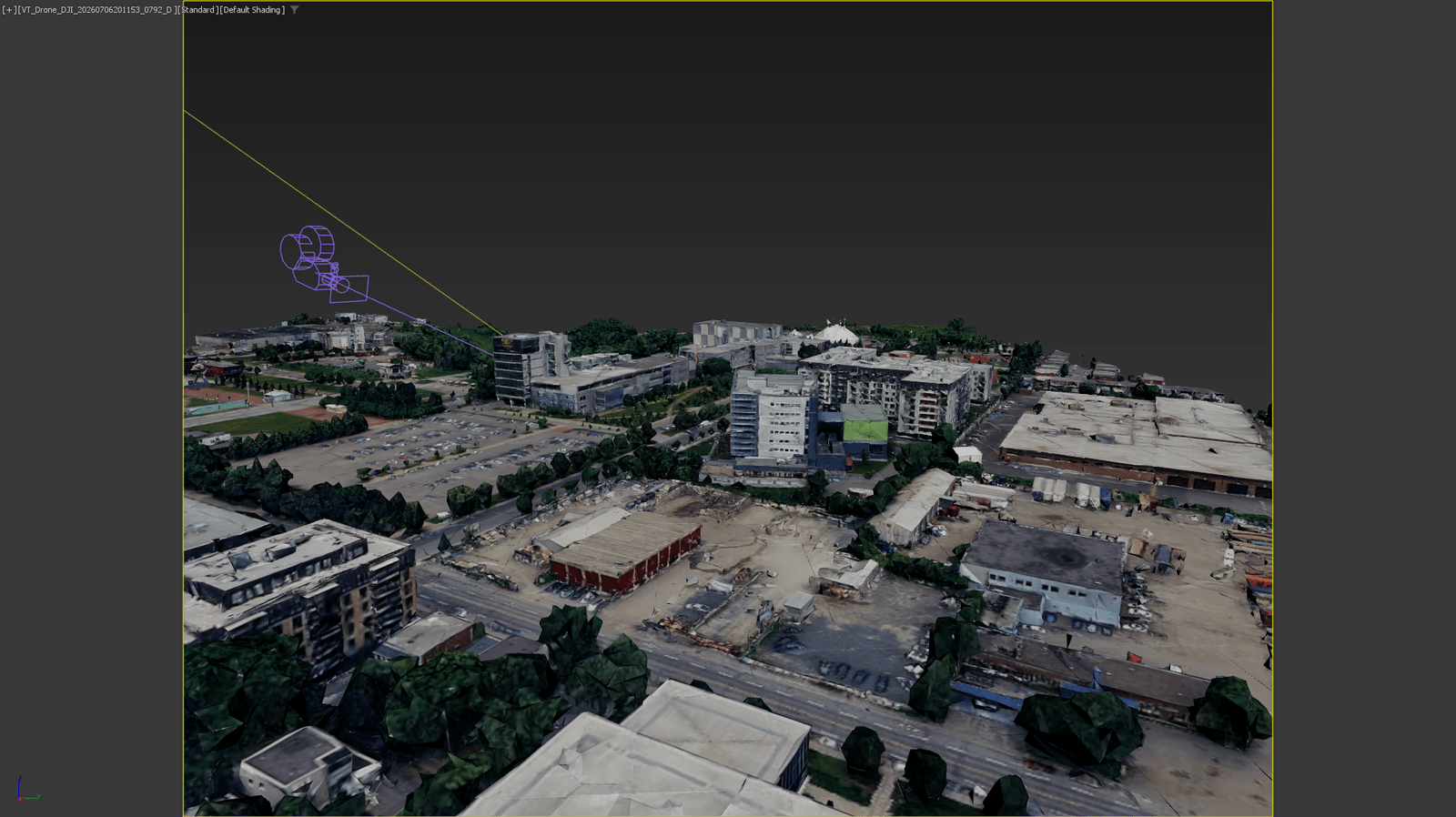
Map data: Google.
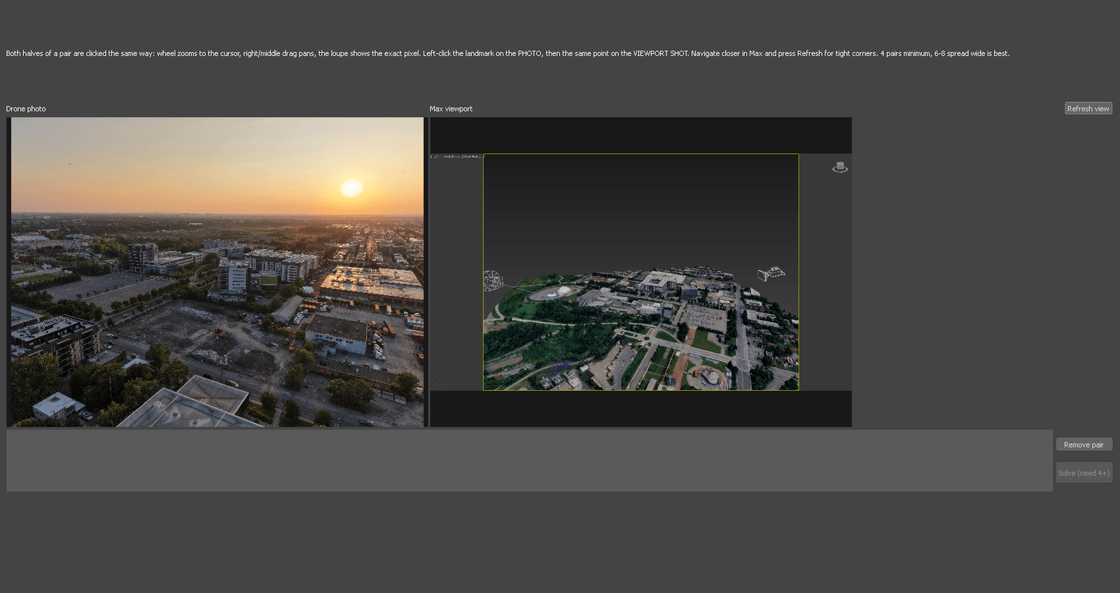
Map data: Google.
Works with any drone photo that carries standard metadata. The solve runs entirely on your own machine: your photos never leave it, and once the context is in your scene the matching needs no connection at all.
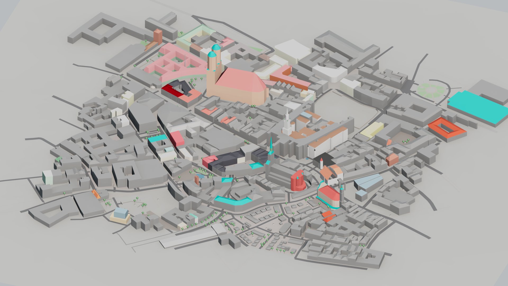
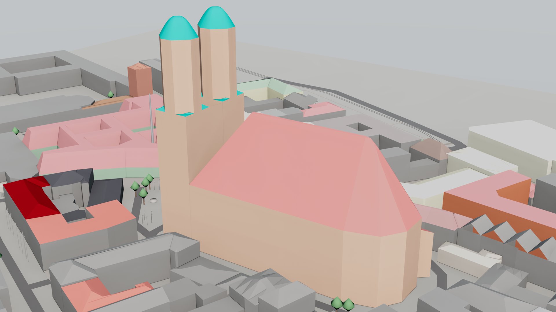
Every exterior needs a neighborhood. ValTerra builds one from open data: a schematic city from OpenStreetMap — buildings at the heights the map knows, with their courtyards, parts and roofs, the ground surfaced the way the map says, trees and avenues, walls, tracks, street furniture and streets at their real width — on terrain from open elevation tiles. One click, tidy "ValTerra" layers in your scene.
| What you pay for today | Typical cost | With ValTerra |
|---|---|---|
| Drone day booked to scout light | $500–2,000 per day, weather roulette included | Scout sun, light and framing virtually — fly once, on the right morning |
| Hand-matching cameras to drone photos | Hours per shot, redone after client notes | Minutes per shot at 0.56 px RMS |
| City context around the site | 3–10 artist-days per site, or £2,000–4,000 per km² purchased | Minutes, from open data, attribution included |
A Studio seat is $205 — $141 at Founders pricing — and Studio starts at 5 seats, so the smallest team purchase is $705 today. If ValTerra saves your team one drone day or one artist-day, it has paid for itself. Everything after that is margin.
Context pricing benchmark: AccuCities list rates for textured 3D city models. Drone rates: typical US/UK licensed-operator day rates, 2026.
A drone day runs $500–2,000 — and you book it blind. You guess which hour the facade catches fire, you guess the haze, you guess the cloud deck. If the guess is off, you pay for the reshoot.
Then the footage lands and the real work starts: hand-matching a CG camera to a drone photo, nudging FOV and horizon for hours per shot, never quite sure the perspective will survive client review at 100% zoom.
And the context around your building? Modeling a believable city costs 3–10 artist-days per site — or £2,000–4,000 per km² if you buy it pre-made (AccuCities list pricing).
| What you pay for | Typical cost | Why it hurts |
|---|---|---|
| Drone day | $500–2,000 | Booked blind, weather included |
| Manual camera match | Hours per shot | Redone after client notes |
| Site context | 3–10 artist-days | Or £2,000–4,000 per km² purchased |
ValTerra moves the guesswork into the viewport. Scout sun and atmosphere for any coordinate on a global 3D globe and export the exact camera and daylight rig into your scene. When the real photo arrives, match it to sub-pixel accuracy in minutes. Need context? Generate schematic city volumes, road splines, and terrain from open data — in minutes, cleared for commercial use.
Founders pricing is live.
The Founders price is a launch discount on the seats you buy now — not a rate for update renewals or for seats you add later, which are priced at the rates in force on that day. List prices apply from version 1.0. Full conditions: Terms, section 5.
$245$169per seatperpetual license
most popular
$205$141per seatperpetual license
Yes for schematic city and terrain, and the license itself says so: OpenStreetMap data is ODbL, which grants commercial use explicitly and excludes no field of endeavour. The one condition is the credit line, and ValTerra prepares the exact one for your scene. Photorealistic tiles are a different question, and it is not ours to answer: they arrive through your credential under your agreement with Google or Cesium, and that agreement — not us — decides what you may do with what it streams. Read it before client work. One thing we can state plainly, because their own pricing page does: Cesium's free Community plan is licensed for personal projects and evaluation, not for paid delivery, so a paid Cesium plan or your own Google Maps Platform key is the honest starting point. Full data sources & attribution.
Yes. The photorealistic 3D cities people know from Google Earth are offered to developers as Google Photorealistic 3D Tiles, and ValTerra imports the area you select straight into your scene, as geometry with textures. It connects to that service with your own Google Maps Platform key or a Cesium ion token, under your own account with that provider, rather than reading the Google Earth application. Have a look at their terms before client work. The steps are in the step-by-step guide.
Yes — the globe runs on one. It streams Photorealistic 3D Tiles, so until you paste a credential there is no Earth in the viewport. The plugin links you straight to both options. A Cesium ion token is free and needs no payment details. Your own Google Maps Platform key puts you under Google's terms with Google billing you directly, and that route needs a billing account. Both run a free tier; we deliberately do not restate their numbers here, because they change — Cesium ion pricing (opens in a new tab) and Google Maps Platform pricing (opens in a new tab) are the current source. ValTerra itself never charges for imports. One thing to check before client work: Cesium's free Community plan is licensed for personal projects and evaluation, not commercial delivery — for paid client work use a Google Maps Platform key or a paid Cesium plan. The matching itself then runs entirely on your own machine — your drone photos never leave it, and no part of the solve touches the network.
Three things account for almost every case, in this order. First: a fresh Cesium ion account does not hold the imagery yet — open Asset Depot in ion and add "Google Photorealistic 3D Tiles" to My Assets, because the token streams what your account holds, not everything ion offers. Second: the token needs the assets:read scope for all assets; the account's own Default Token always has it, a hand-made one often does not. Third, and easiest to miss: the token arrived truncated. It is a long single line, and selecting it by hand or copying it out of a wrapped e-mail drops the tail — use the copy button next to it and paste without pressing Enter. If the globe is still empty, the panel now prints the provider's own answer, such as INVALID_TOKEN, plus a network probe of both routes — send us that line and we will know what happened. The user guide covers the same ground in chapter 3.1.
Then look at the machine, not at the token. Windows can block outbound connections for a single program, and when it blocks 3ds Max the credential never leaves your computer — so every part of ValTerra reports a different symptom and none of them names the real cause. Our first outside user lost two Cesium ion accounts and a borrowed work token to exactly this before we found it. The panel now says so directly and prints a language-neutral code, PermissionError (WinError 10013), instead of guessing at your credentials. The fix is on your side and takes a minute: allow 3dsmax.exe in Windows Defender Firewall under Outbound Rules, and add the same exception in your antivirus if it keeps its own list. Corporate machines often have both. Nothing in ValTerra needs changing, and no new token will help.
Autodesk 3ds Max 2024, 2025, 2026, and 2027. The camera ValTerra creates is a native Physical Camera, and the sun takes the light class your renderer registers: in Lite it is the Daylight system of Autodesk 3ds Max; with a trial or a paid seat it is the ValTerra Sun, whose light is a CoronaSun when Corona is the active renderer and a standard directional light otherwise, and can be switched from the object to another sun class you have installed. The sky, moon, clouds and stars that come with the ValTerra Sun are Corona's: without Corona those parts stay quiet. Change the active renderer and a ValTerra Sun left on Automatic follows it: the light becomes the class that renderer wants, and under Corona the sky is built and bound to it. Anything you set on the light — its exclusion list, shadows, color, layer — is carried across, and your selection is left as it was. In Lite, where the sun is the Daylight system of Autodesk 3ds Max, press the Daylight button again after switching renderers and it is rebuilt for the new one. One thing to know before you hand a scene over: the ValTerra Sun is a ValTerra object, so a scene that holds one needs ValTerra installed — any tier, Lite included — to open as built; without it, Autodesk 3ds Max reports a missing plugin. Freeze for handover turns the sun's motion into ordinary keyframes for a render farm or a colleague without ValTerra.
A license key by email — one key for each seat you bought, all in one message — and the installer. Paste a key into the ValTerra panel: the plugin contacts getvalterra.com once at that moment, records your machine against that key's seat, and from then on runs without an internet connection. Changing computers is self-service: Deactivate this machine in the panel frees the seat, and the same key activates on the new one; if you forgot to deactivate, the panel on the new machine names the computer that still holds the seat and lets you release it. No ticket, no waiting. The installer is a single .mzp file covering Autodesk 3ds Max 2024–2027: you run it once from inside Max and the ValTerra button appears on your toolbar. Your purchase includes a year of updates, and every version released during that year stays yours to keep using after the year ends. Nothing ships physically and nothing switches off on a date. The download page lists the install steps and the system requirements.
One seat per person who runs ValTerra. Every seat is a full license with its own key: an order for five seats is five keys under one order number, you hand each person their key, and each key locks to one workstation at activation — more precisely, to one Windows user account on it, so two artists sharing a machine under their own logins need two seats. In your account you can give each key a label of your choosing — a workstation or a project, say — so you can tell them apart. Buy them together and the price per seat drops from five seats up; the table on the pricing page shows every total, so there is nothing to ask for and nothing to negotiate. If you outgrow your count later, add seats at the per-seat price for your new total as shown on the pricing page on that day — a Founders price on your first order does not carry over to seats you add after Founders pricing ends.
Nothing dramatic. Your license is perpetual: the plugin keeps working forever, on every version released during your update term. Renewing currently costs $75 per seat per year, or 30% of list for larger teams, and gets you continued updates and support. The renewal price is the one shown on the pricing page on the day you renew, whatever you paid for the seat. Skip a year if you like — you never lose access to what you own.
If ValTerra isn't a fit, write to us within 14 days of purchase for a full refund of your license fee. We'd rather have your honest feedback than your reluctant money. (And with a 30-day full trial plus a free Lite tier, we hope you'll never need this paragraph.) Read the full Refund Policy.
Really. 30 days, everything at full quality, clean output. Afterward, ValTerra Lite remains free forever and stays watermark-free — what changes is fidelity and one feature, never who owns the result: photorealistic geometry comes in at Medium (8 m), textures at Half resolution, captures at 1080p, and one photorealistic import covers at most 0.25 km². The one paid feature is the ValTerra Sun: Lite builds the Daylight system of Autodesk 3ds Max instead, and a ValTerra Sun already in a scene keeps working in Lite. Enough to work and to judge; not enough to deliver. Terrain stays at full quality; schematic city too, within 4 km² per OpenStreetMap request in Lite (no fixed area cap in the trial or a paid seat). We'd rather cap fidelity than deface your work.
Thirty days, every feature, no card. See what your site looks like at 7:42 tomorrow morning — tonight.